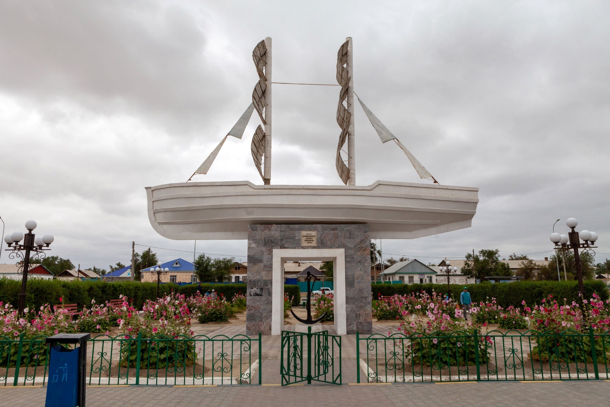
Aral, monument “dedicated to the spirit of the fishermen.”
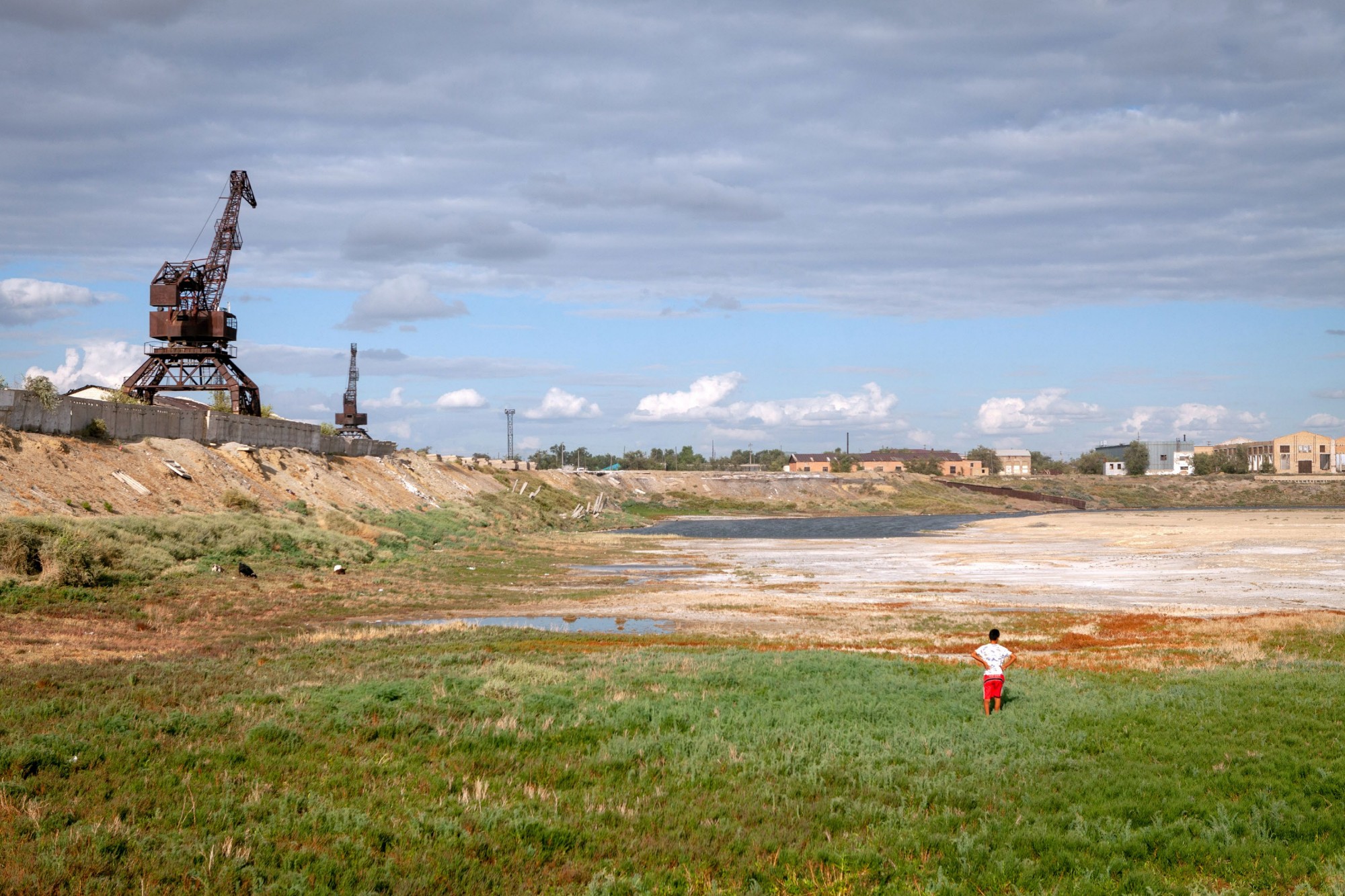
Aral, the area of the old port.
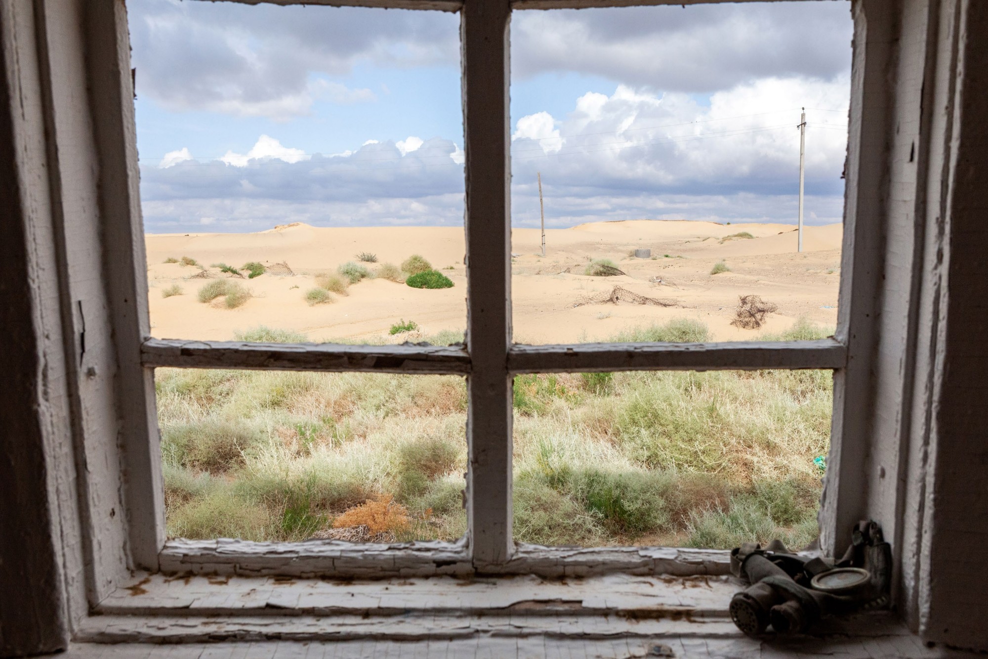
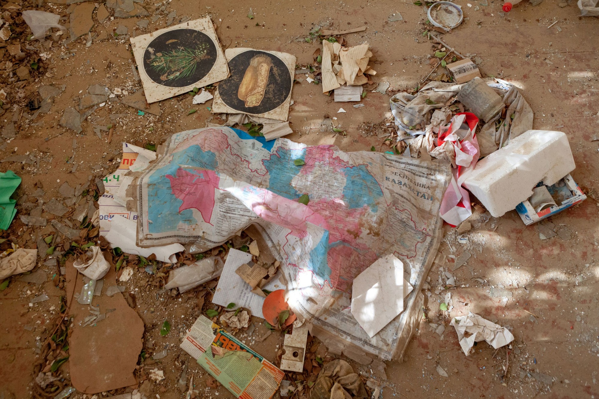
espe, the village school, once on the shores of the lake, today almost completely abandoned due to the sand dunes covering it. The draining of the lake caused an alteration of the microclimate and the appearance of frequent winds.
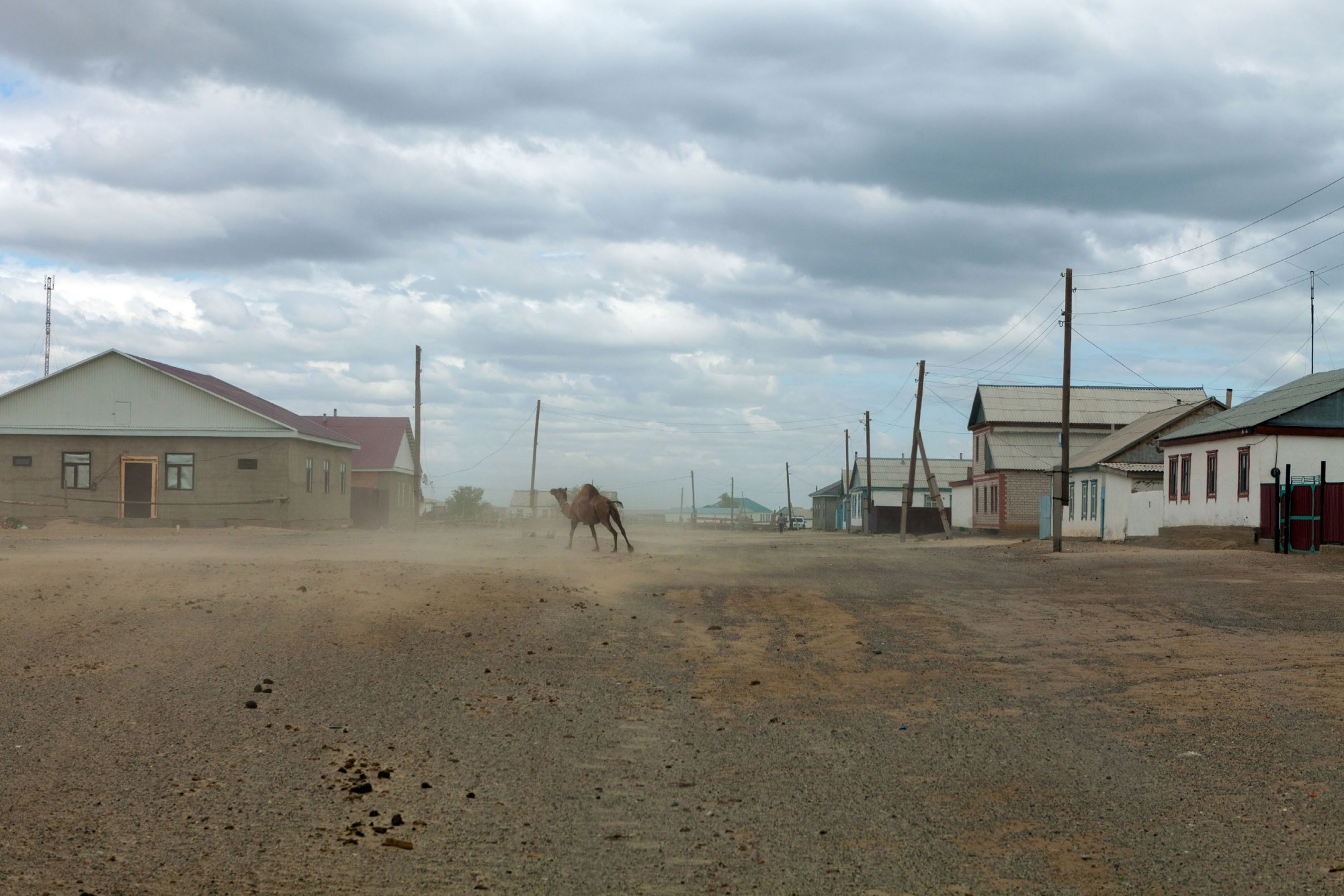
Zhalanash, once on the shores of the lake, now about 12 km away, is battered by strong and frequent winds.
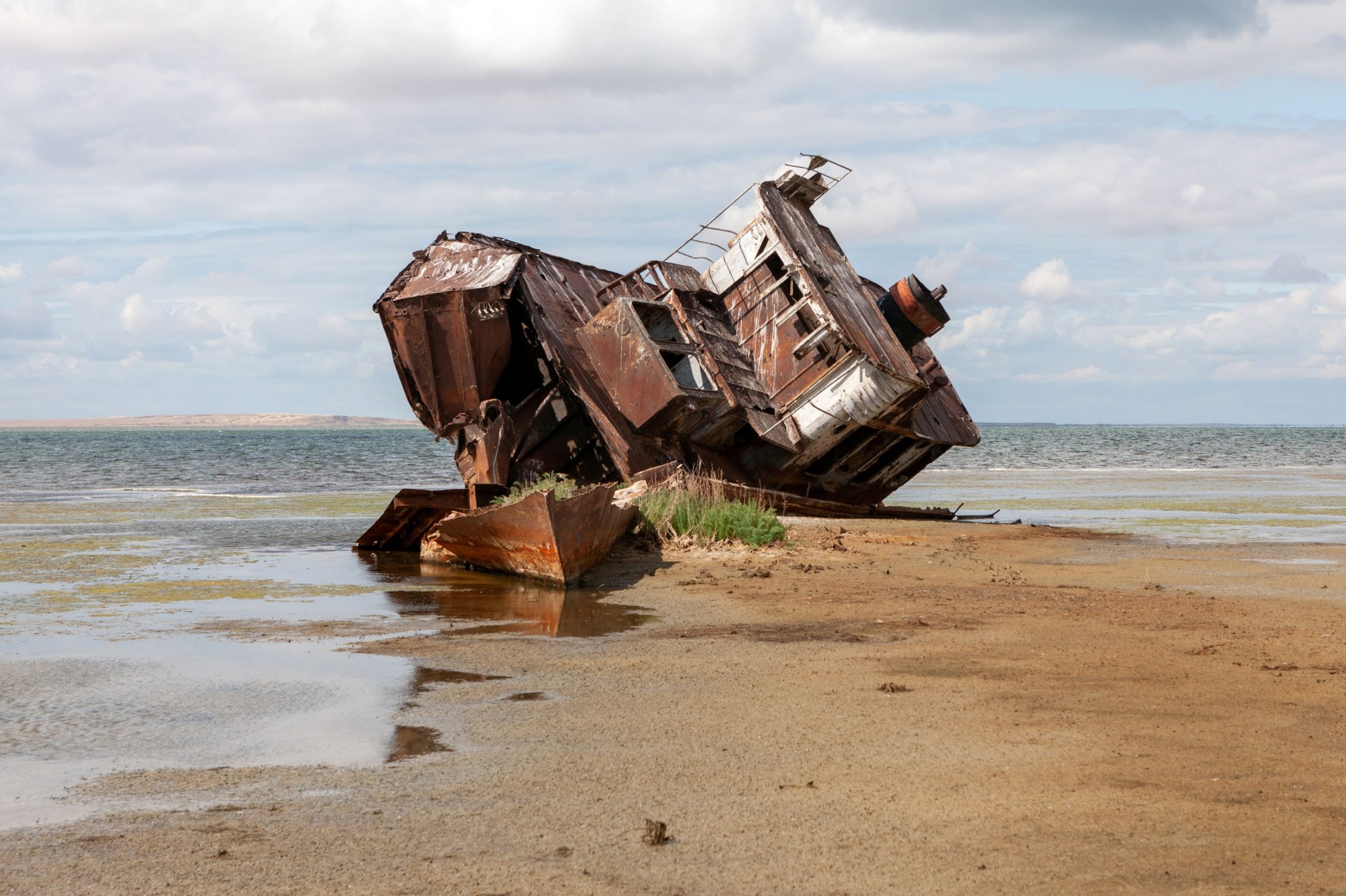
The last shipwreck in the best-preserved condition. Dozens of ships over the years have been abandoned on the lake’s shores, later cut up and sold as scrap by the villagers.
Aqespe, the village school.
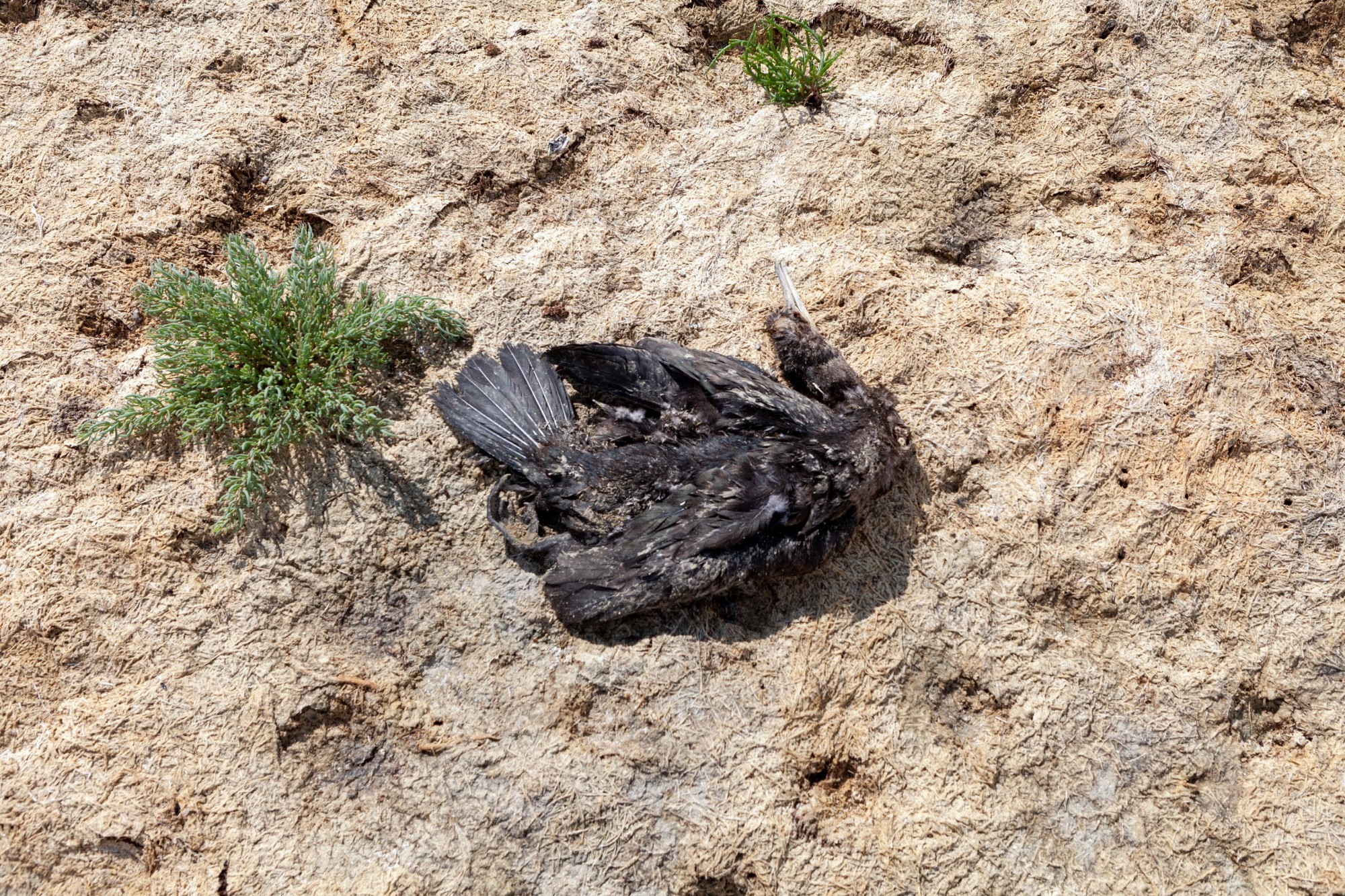
The exposed lakebed is heavily polluted by pesticides used in cotton cultivation; not only is the local wildlife dying, but the winds blowing across the lake from east to west have carried toxic agents to Russia, to the forests of Norway, the glaciers of Greenland, and even into the blood of penguins in Antarctica.
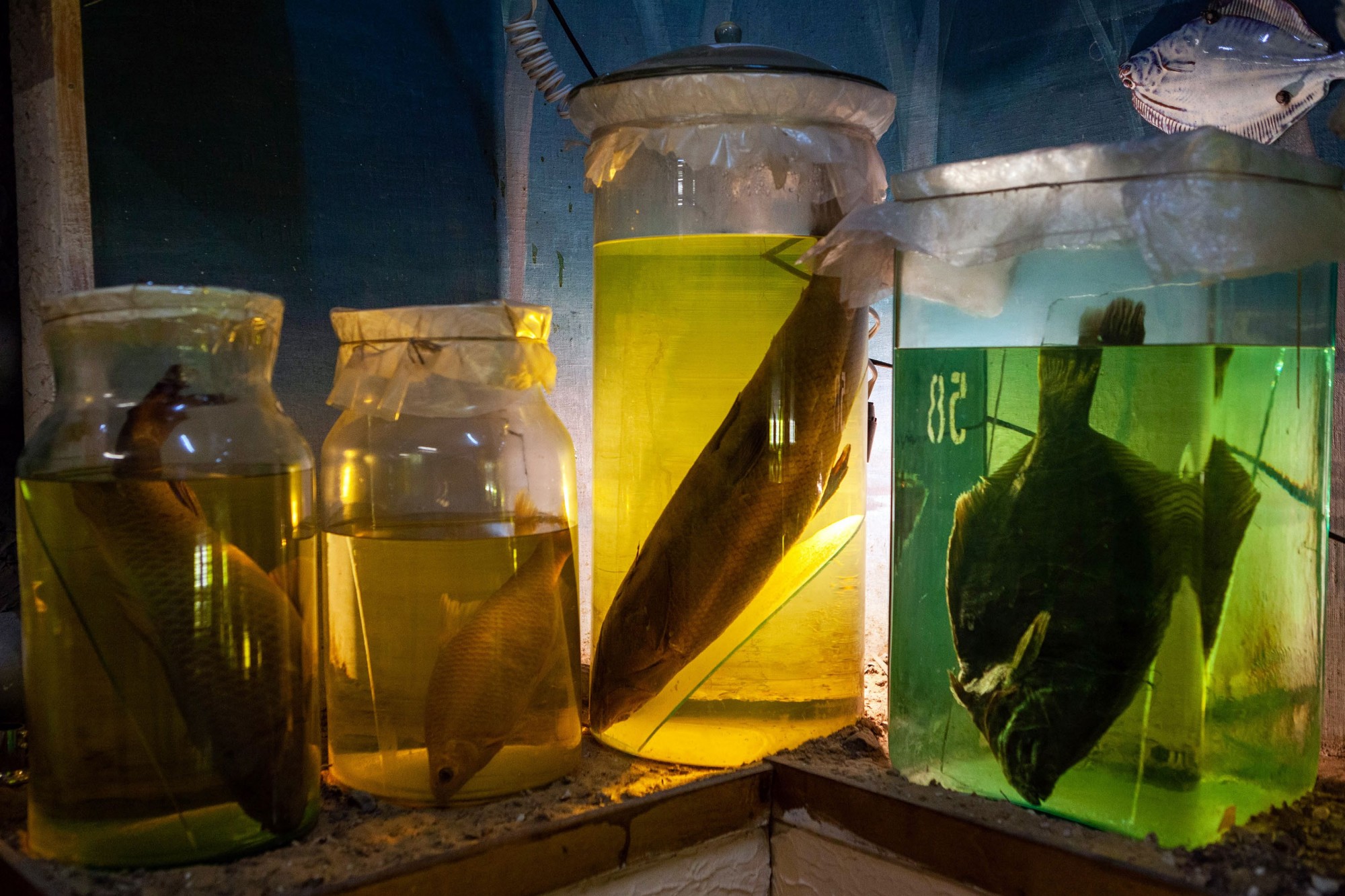
Aral, city museum, specimens of fish now disappeared from the lake.
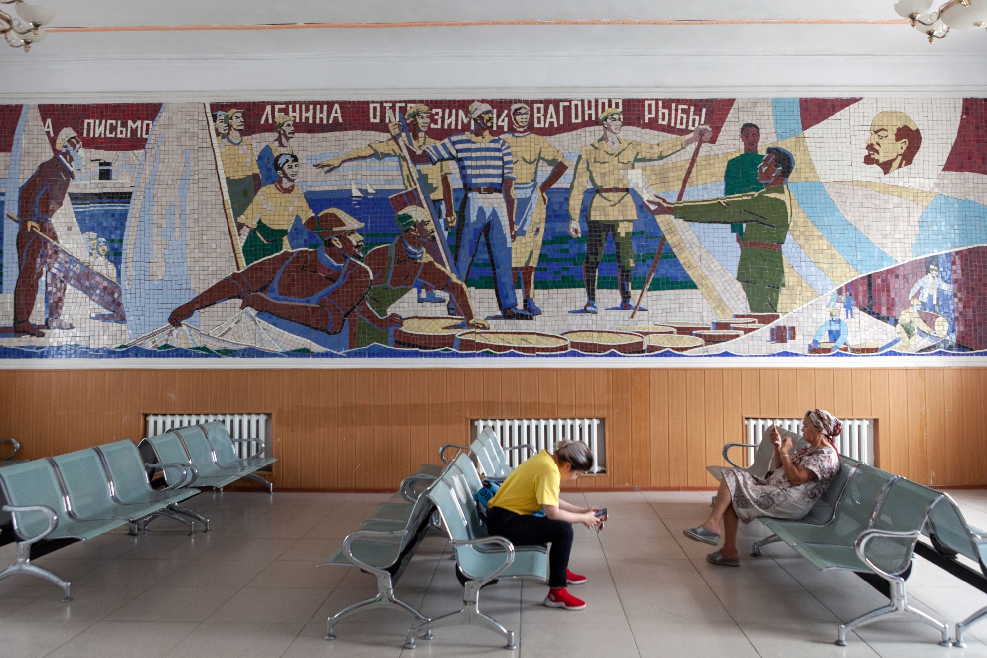
Aral, the waiting room of the railway station.
Aral, tourist bus. Tourism is increasing in the area.
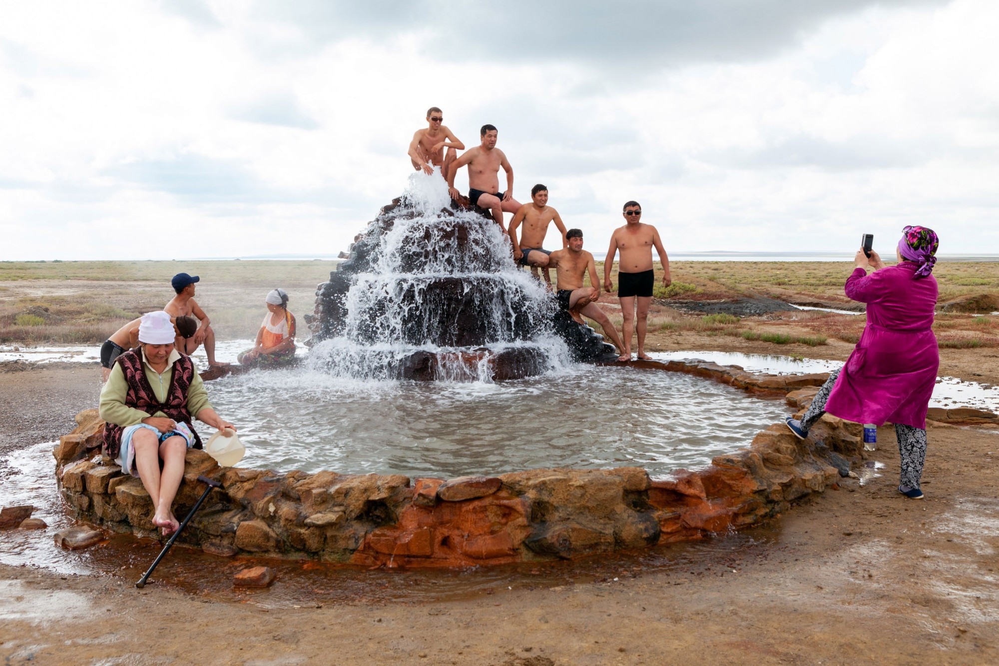
Aqespe, following the drop in water levels, in 1986 the company Georazvedka Shymkent, during some drillings, found at a depth of 1,200 meters a hot water spring (about 60°C). Today it is used by the local villagers for its medicinal properties.
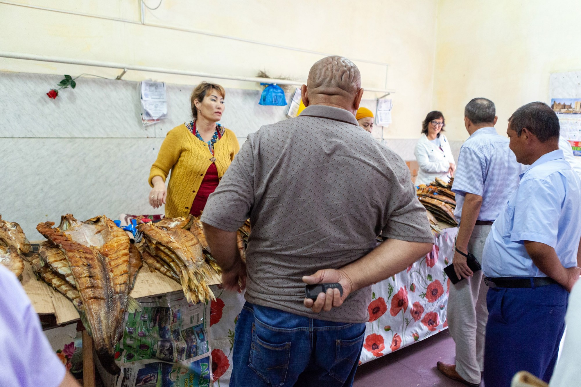
Aral, the main fish shop of the town.
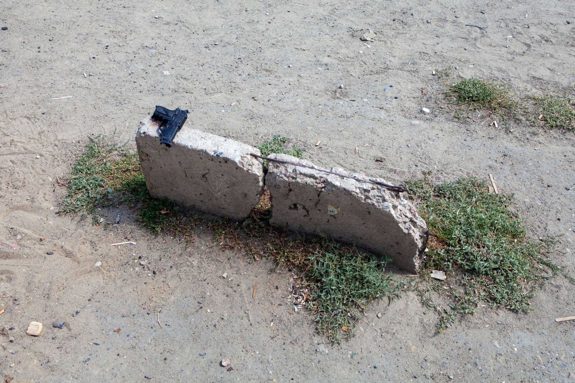
Aral, toy gun. Following the lake’s drying, in addition to the loss of many jobs and general impoverishment, an increase in crime has also been recorded.
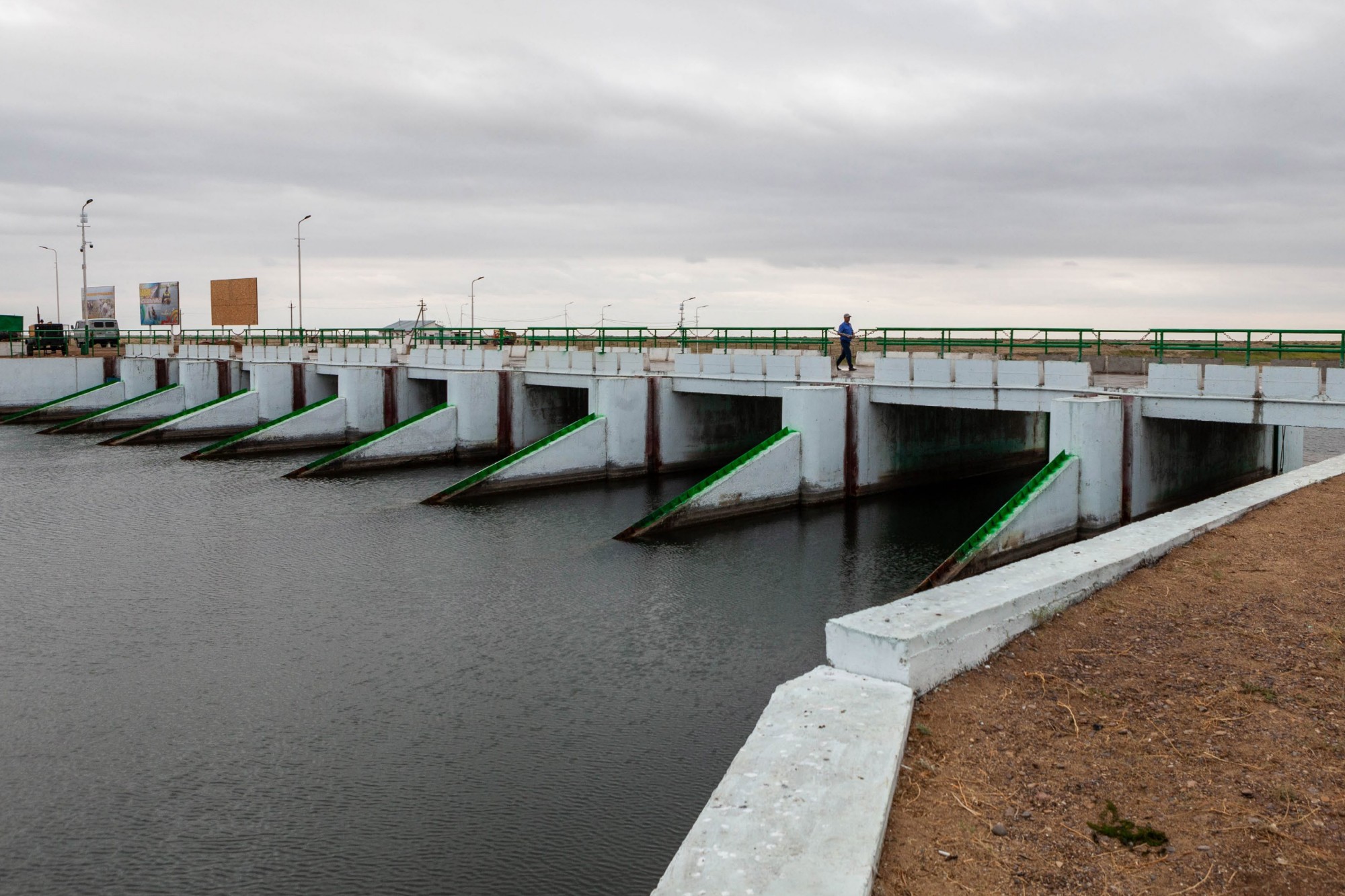
The Kokaral dam represents the lake restoration project on the Kazakh side. Inaugurated in 2005, it has already raised water levels by about ten meters, and a second phase is planned to raise it another 4 meters.
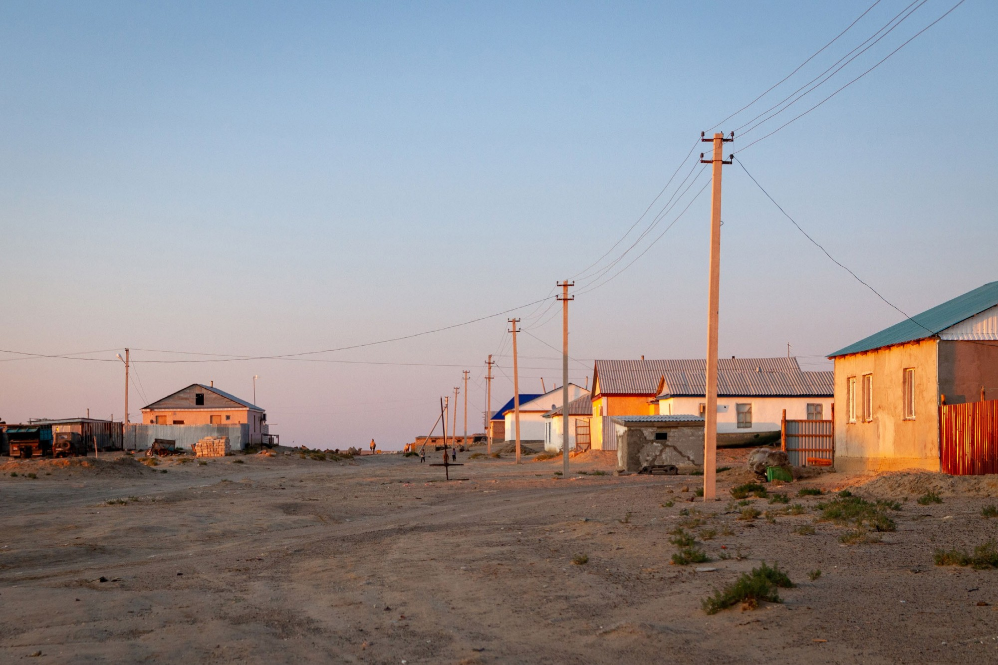
Tastubek, one of the last inhabited villages around the lake.
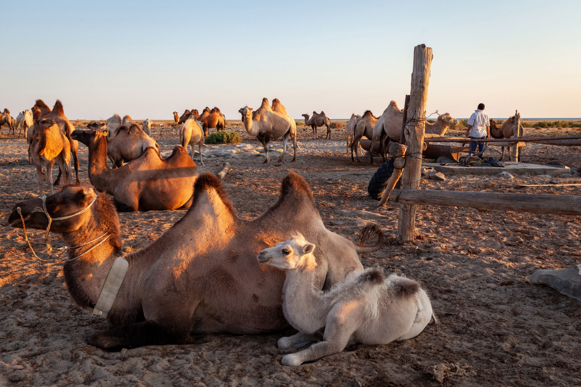
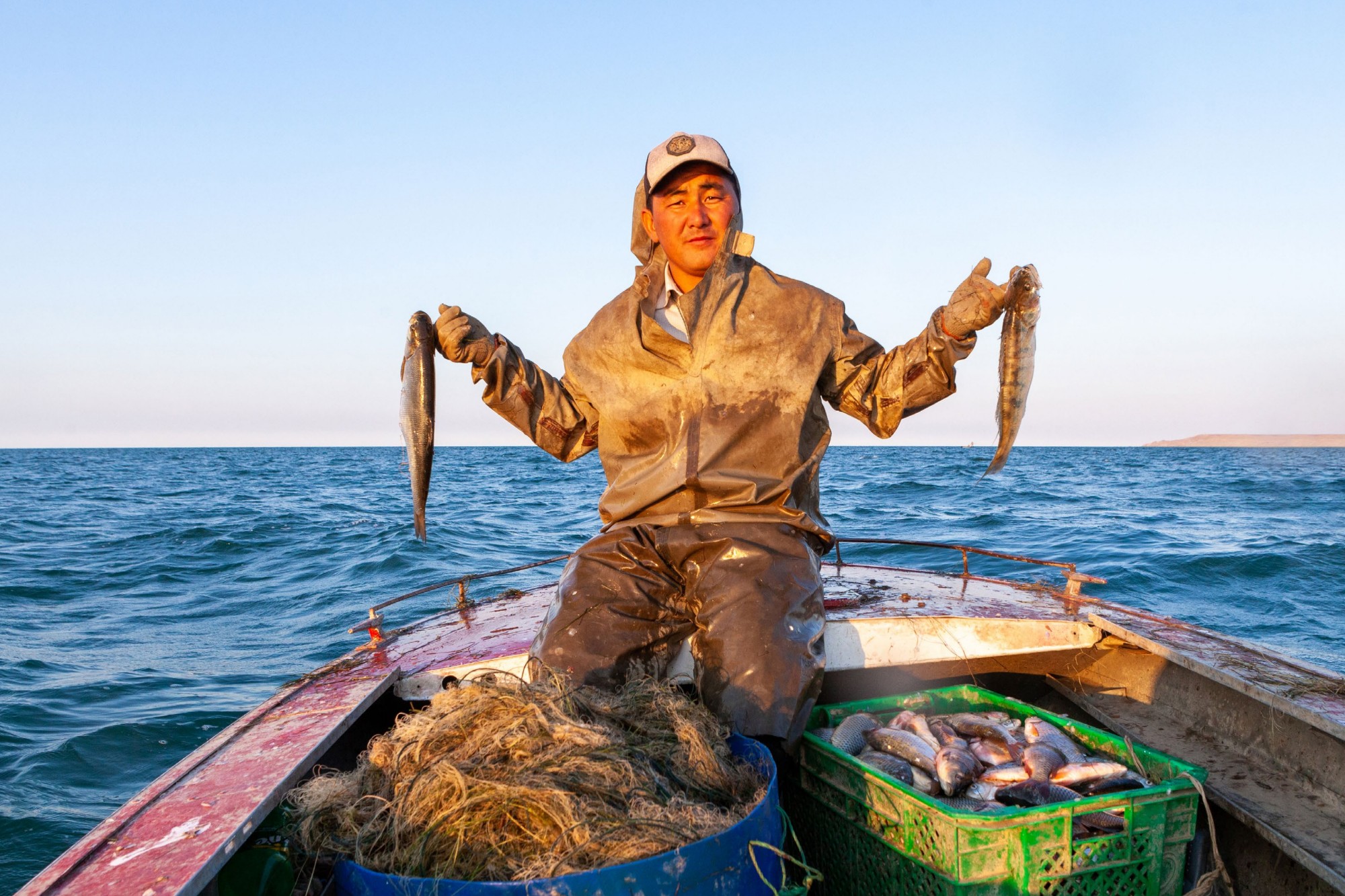
Nurzhan, a resident of Tastubek, after casting his nets, tends to his camels. Besides fishing, livestock breeding is an important source of income; an adult camel can cost up to 100,000 tenge (about 250 euros).
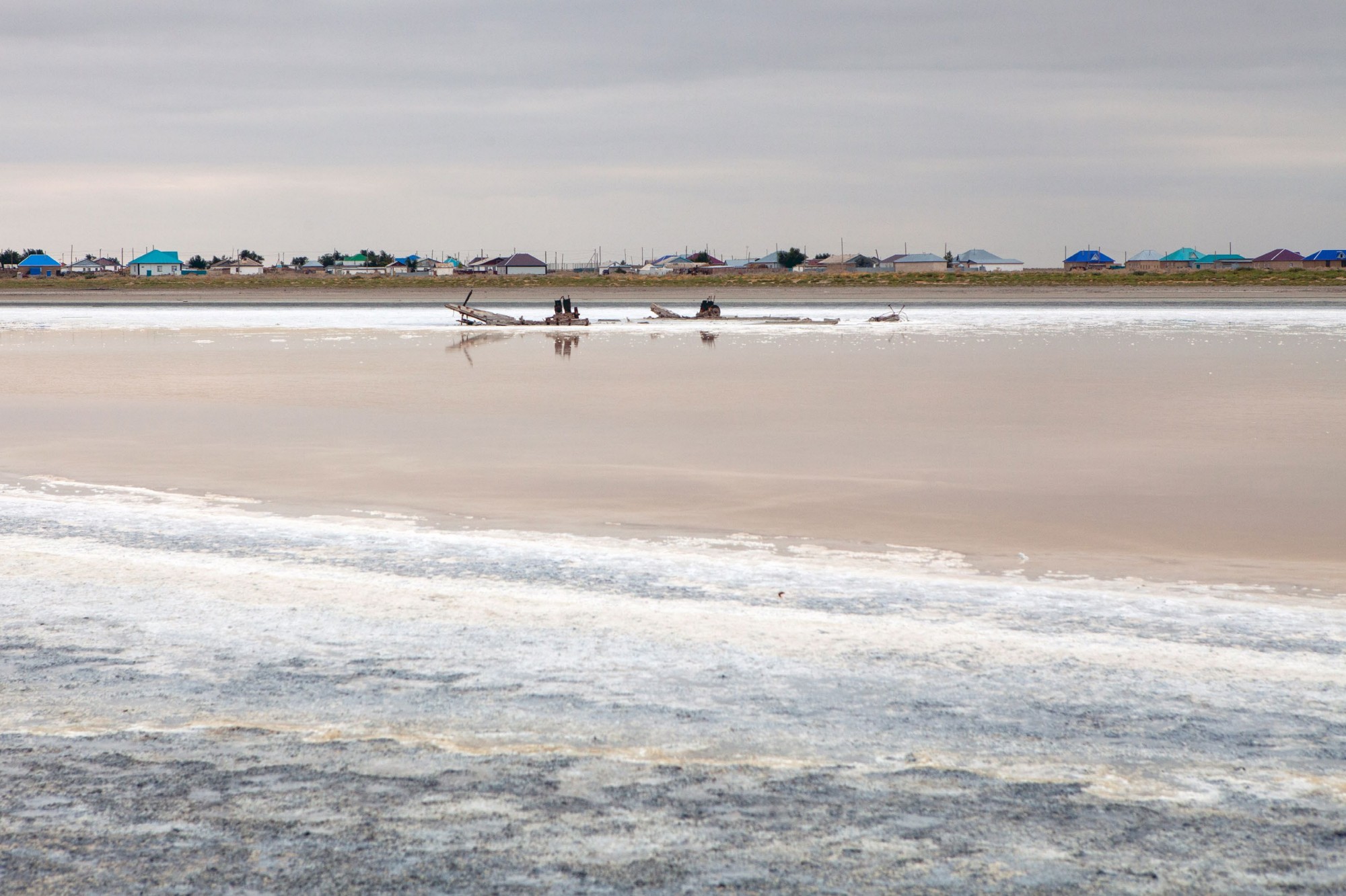
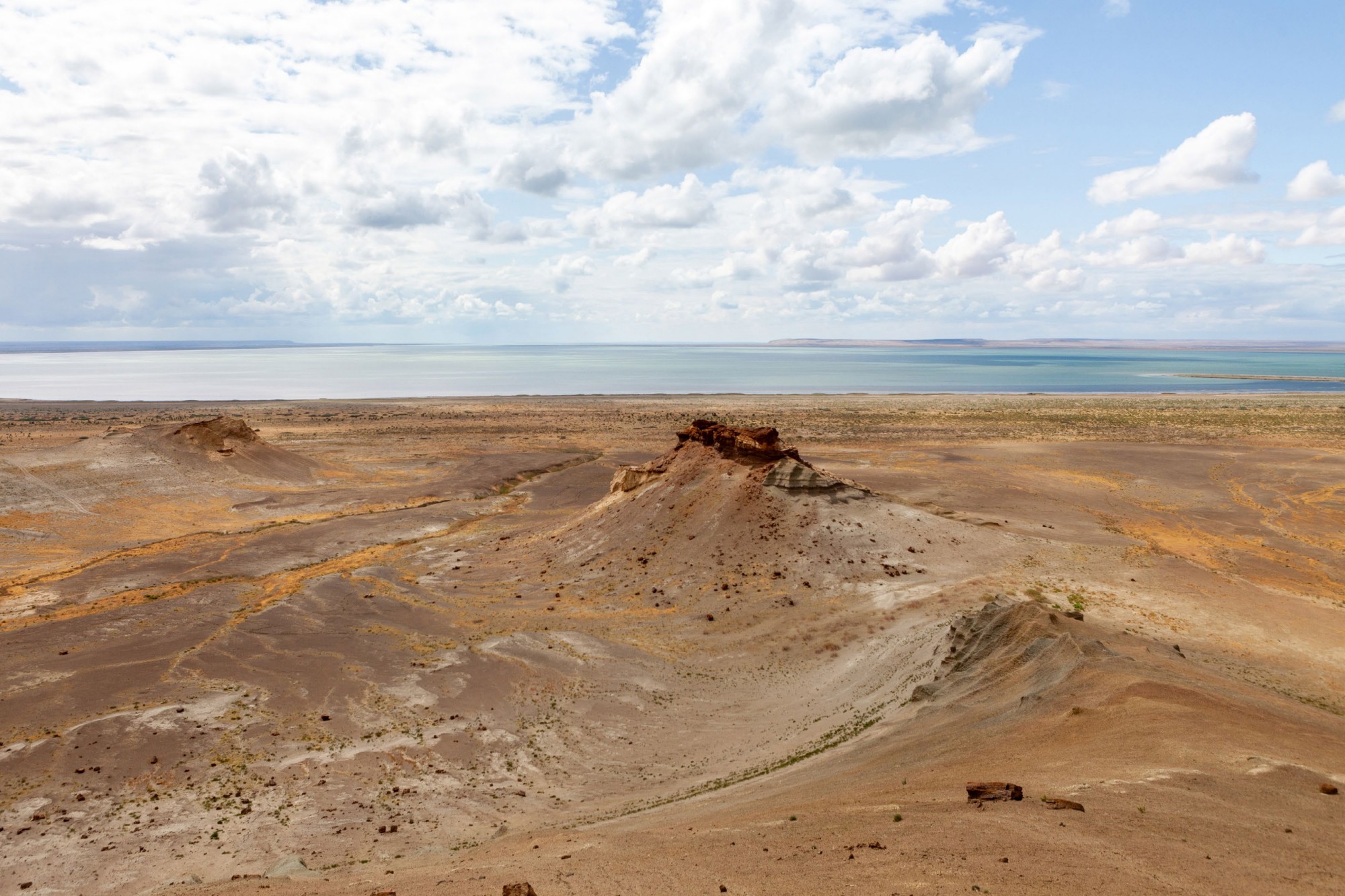
View of a small part of the lake.
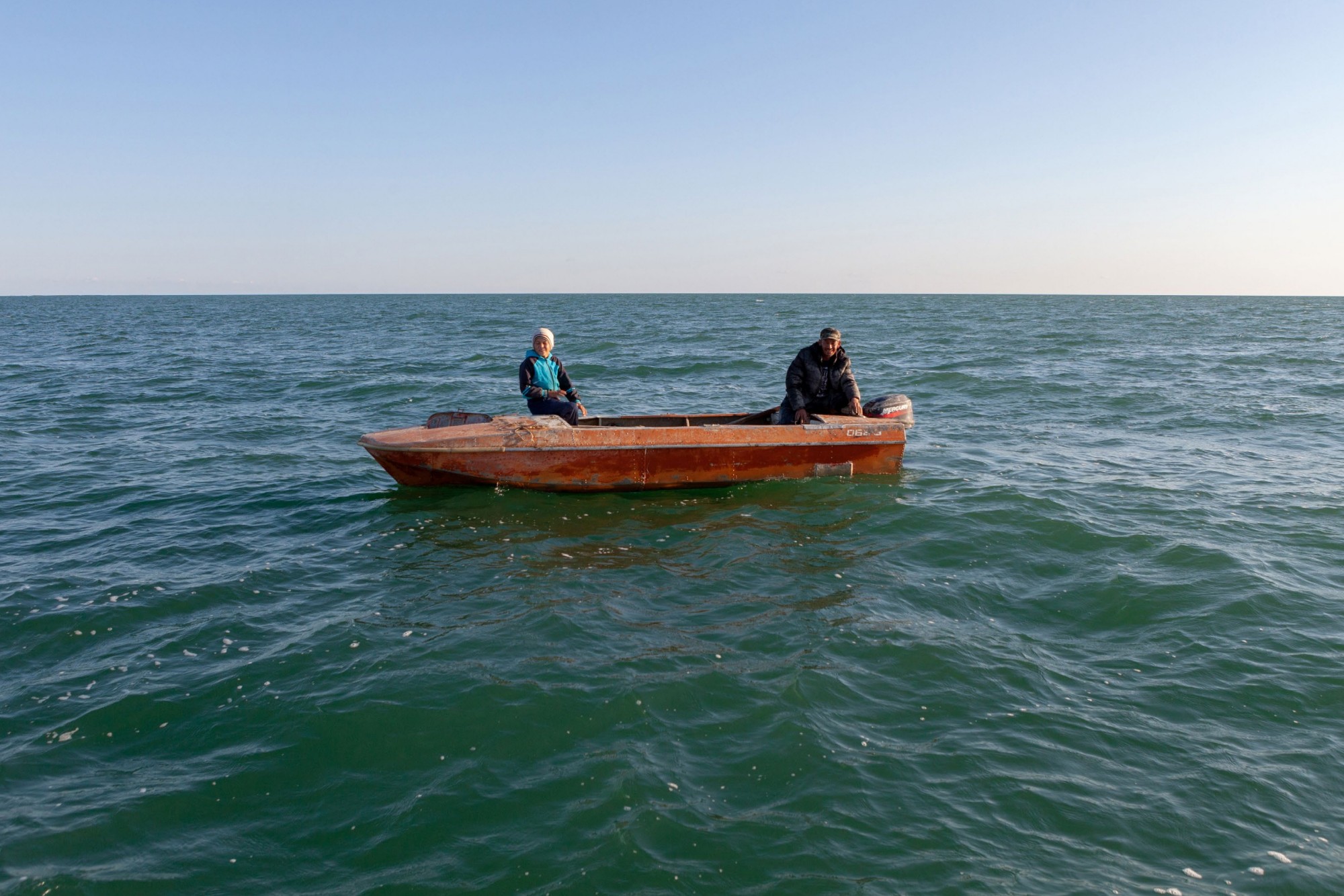
Fishermen returning to Tastubek after casting their nets.
Nurzhan shows the result of a successful morning of fishing.
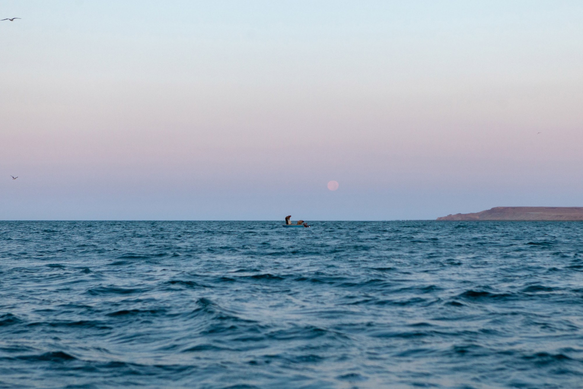
Fishermen during the morning harvest.
In the early ’60s, the government of the Soviet Union decided to divert the water of the two rivers (Syr Darya and Amu Darya) that flowed into the lake, using canals, in an attempt to irrigate the desert to cultivate rice, melons, cereals, and to water the vast new cotton fields in the surrounding areas. This was part of the intensive cotton cultivation plan promoted by the Soviet regime, aimed at making Russia one of the major exporters. The construction of irrigation canals began on a large scale in the 1940s. Most of them were built hastily, allowing water to leak or evaporate. From 1960 to 1998, the lake’s surface had decreased by about 60%, and its volume by 80%. In 1960, the Aral Sea was the fourth-largest lake in the world, with a surface area of 68,000 km² and a volume of 1,100 km³, whereas by 1998 the surface had shrunk to 28,687 km². During the same period, salinity increased from 10 to 45 g/l. Since 1987, the lake has split into two separate bodies of water, the North and South Aral Sea, due to the continued water withdrawal. By 2004, the Aral Sea’s surface had shrunk to only 17,160 km², 25% of its original extent, while salinity had increased nearly fivefold, killing most of the flora and fauna. By 2007, the lake’s surface had further declined to 10% of its original size. The retreat of the North Aral Sea has been partially reversed thanks to the construction of a dam, but the remains of the South Aral Sea continue to disappear.